How it works
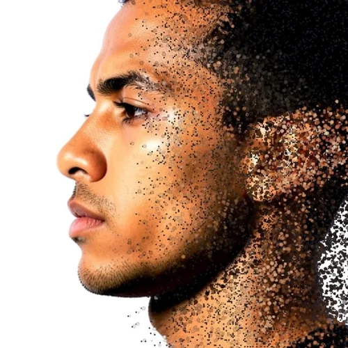
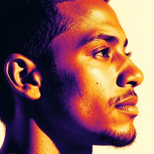
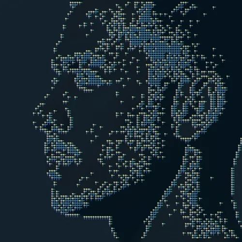
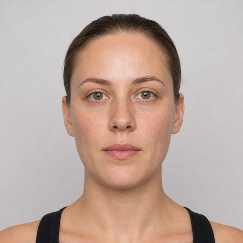
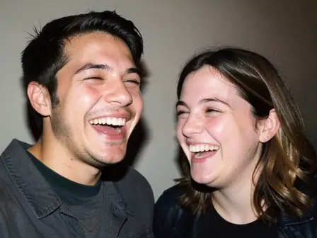
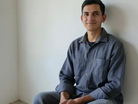
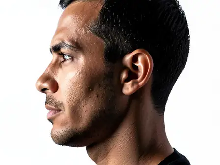
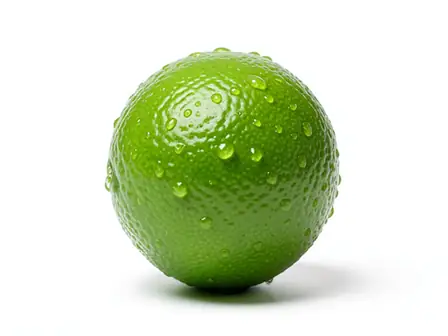
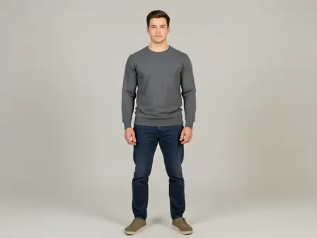
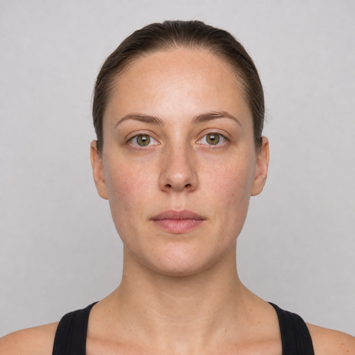
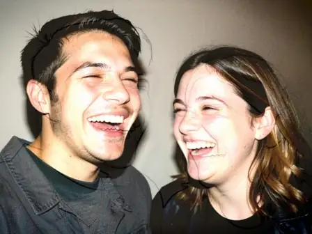
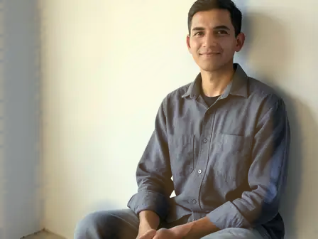
The image is rebuilt from discrete points positioned by estimated depth and colored by distance, with visible gaps between points and density falling off where the surface turns away.
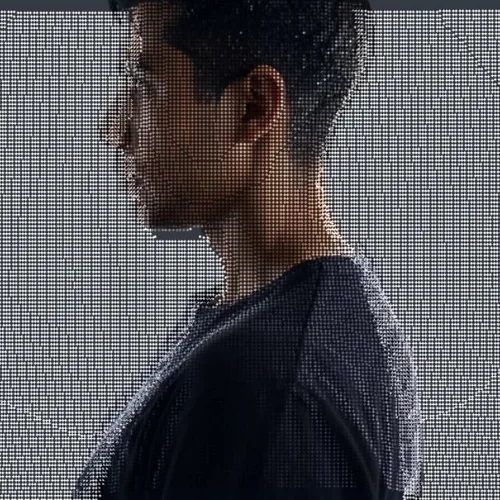
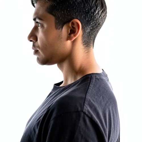
Reconstruct the photograph as a navigable colored depth point cloud. Control the strength, compare the result, and download a finished image from your browser.
Review the available effect capabilities before you begin.
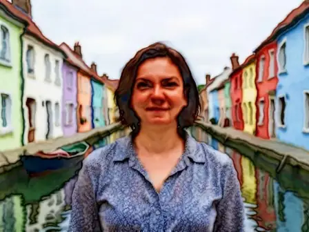
The image is rebuilt from discrete points positioned by estimated depth and colored by distance, with visible gaps between points and density falling off where the surface turns away.
Upload a photo, adjust the LiDAR Point Cloud intensity, compare its processed preview with the source, and download the finished result.
Use the intensity control to balance the LiDAR Point Cloud treatment with the detail and character of your original photo.
A reduced LiDAR Point Cloud preview keeps adjustments responsive. Free downloads are clean and web-size; Premium or a credit unlocks the original resolution.
LiDAR Point Cloud uploads are processed on secure servers and automatically removed under the normal Pixoate retention policy.
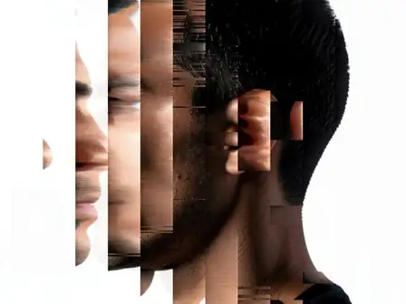
The image is rebuilt from discrete points positioned by estimated depth and colored by distance, with visible gaps between points and density falling off where the surface turns away.
LiDAR Point Cloud uses an AI action. Any separate allowance is shown before this effect starts processing.
technology and data-visualisation graphics, architecture and survey content, album artwork, and futuristic design.
Less suited to: images needing solid surfaces, since a point cloud is inherently sparse and see-through.
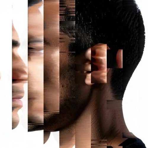
Sort controlled pixel runs into sleek directional color streams
Trace scene depth as a futuristic hidden-line wireframe
Melt blocks into vivid compression-inspired digital artifacts
Render the photograph with block glyphs selected by local tone
Rebuild the picture from color-matched emoji-face tiles
Dissolve the subject edge into directional colored particles
Display the image through glowing phosphor triads and scanlines
Transmit the subject as a translucent flickering spectral hologram
Map image luminance into a dramatic artistic heat-camera palette
Route facial and object contours into luminous circuit-board paths
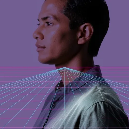
Place the subject over a horizon-aware neon perspective grid
Tools for common next steps after Photo Effects.
Creative & Design
Turn a photo into classic, storybook, sticker, watercolor, or custom cartoon artwork with editable AI directions.
Try it nowCreative & Design
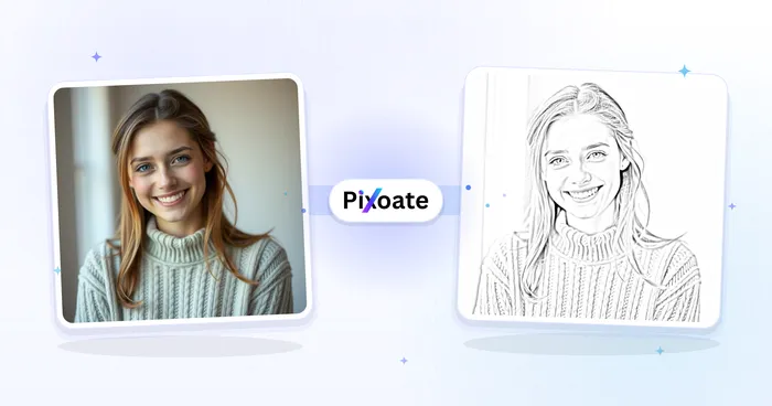
Convert a photo into a pencil-sketch style image and adjust the shadow depth before download.
Try it nowPhoto Editing & Utilities
Convert an image to black and white. Adjust the intensity and preview the result.
Try it nowThe strongest effect picks lead this belt before the rest of the catalog.