
How it works
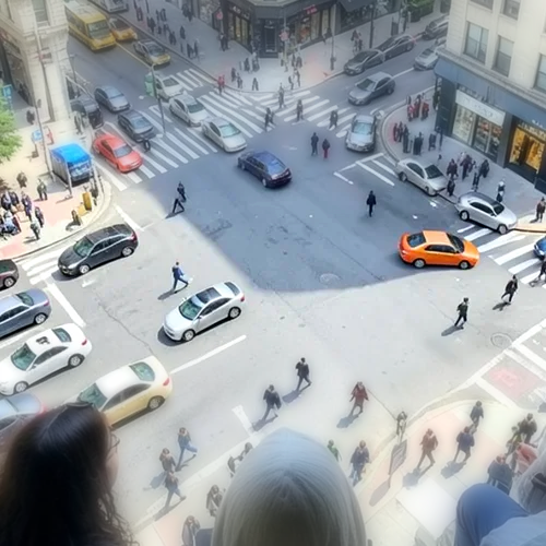
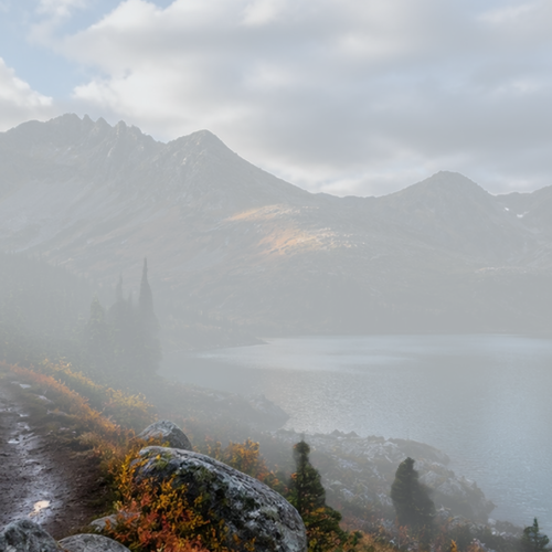
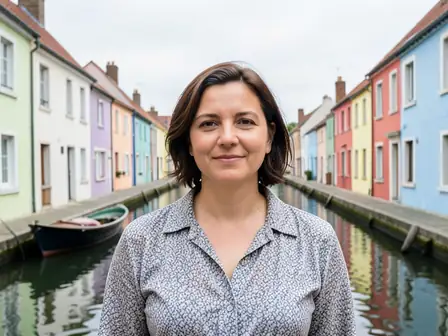
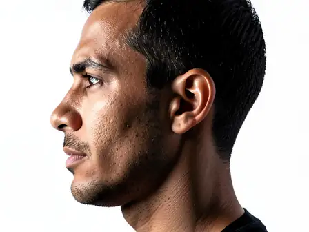
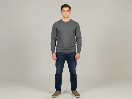
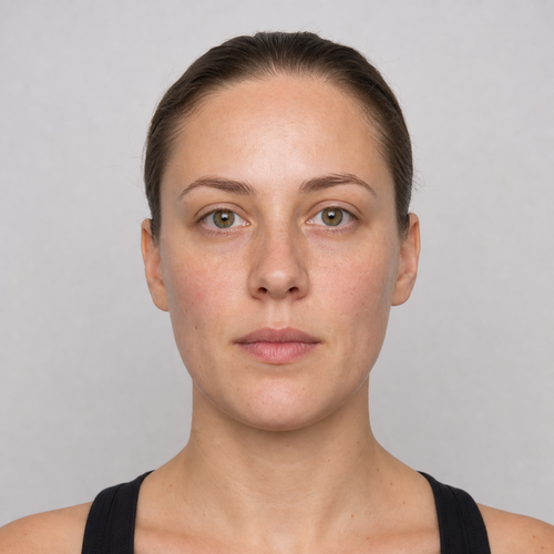
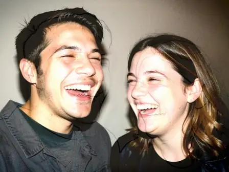
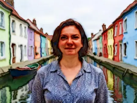
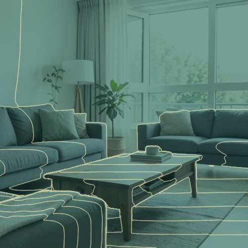
Topographic Depth Lines estimates relative distance from the camera, normalises it robustly, and divides that fixed depth field into 18 regular bands. A 3 × 3 median filter removes isolated one-pixel labels before each exact threshold is subpixel-interpolated across its two neighbouring source coordinates. A narrow antialiased cream isoline is then composited over a source-luminance teal map. Intensity changes the real map and line opacity while every contour stays tied to those original coordinates. At its working size, the renderer never shifts, spatially resamples, inpaints, or regenerates RGB or alpha, so people, faces, arms, objects, framing, and transparency remain aligned and working-frame alpha stays byte-exact. Larger uploads can be proportionally resized before depth analysis: the standard free limit is 800 pixels on the long side, and the depth service defaults to a 2048-pixel long side for remaining larger inputs. The result is returned as a lossless PNG.